From Vision to Notification: Dholera Takes Shape
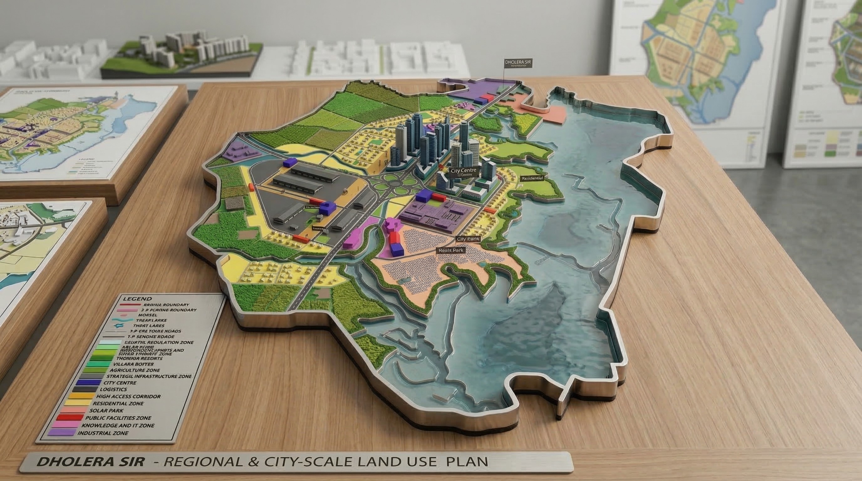
After the legal framework was established, Dholera SIR was structured as a major planned region of about 920 sq. km, with about 422 sq. km under Town Planning Schemes. It was envisioned as a large-scale smart industrial city within the DMIC ecosystem. This stage translated policy into mapped territory, development logic, and phased urban planning.
Once the legislative framework was in place, Dholera moved into the stage where vision had to be translated into spatial planning and administrative notification. This transition is crucial in the history of Dholera because many ambitious regional projects remain trapped at the level of policy statements. Dholera moved beyond that by being formally structured as a large territory with a defined planning footprint.
According to the official planning information, Dholera Special Investment Region spans approximately 920 sq. km and encompasses 22 villages of Dholera Taluka. Within this broader region, the area covered under Town Planning Schemes 1 to 6 amounts to around 422 sq. km. This shows that from an early stage, Dholera was conceived through a layered planning logic: a large notified region on one hand, and a more structured developable area broken into planning schemes on the other.
The official FAQ provides a useful timeline for this phase. After the 2009 Act, the Dholera Special Investment Regional Development Authority (DSIRDA) was established in 2010 under the legislative framework of the SIR Act. This was a critical step because it created the regional authority responsible for planning and development. Then, in 2011, the master planning work was started by Halcrow Group, UK. In 2012, an ICT masterplan was prepared, showing that Dholera’s smart-city identity was not an afterthought but part of the planned urban structure. In 2013, program managers were appointed, and in 2014, the project received environment clearance.
Each of those dates marks a different layer of maturity. The 2010 authority formation gave Dholera an administrative command structure. The 2011 master planning process translated legal possibility into physical design and development logic. The 2012 ICT plan showed that digital infrastructure and city-management systems would be built into the city model. The 2014 environmental clearance signaled that the project had crossed a major regulatory threshold.
This phase is also where Dholera’s identity as a planned smart industrial city became more concrete. Official descriptions position it not as a conventional residential project, but as an integrated region that combines business, living, and infrastructure. This framing matters historically because it shaped how land, transport, utilities, and urban services were later sequenced. Dholera’s growth path was never supposed to resemble unplanned peri-urban sprawl. It was designed to unfold through structured planning and infrastructure enablement.
By the end of this phase, Dholera had moved from being an abstract state ambition to being a legally recognized, spatially defined, and institutionally planned region with a visible roadmap. That made the next phase possible: the creation of an implementation vehicle capable of executing infrastructure on the ground.